Report
Very many thanks to Lee Matthews for this excellent repot.
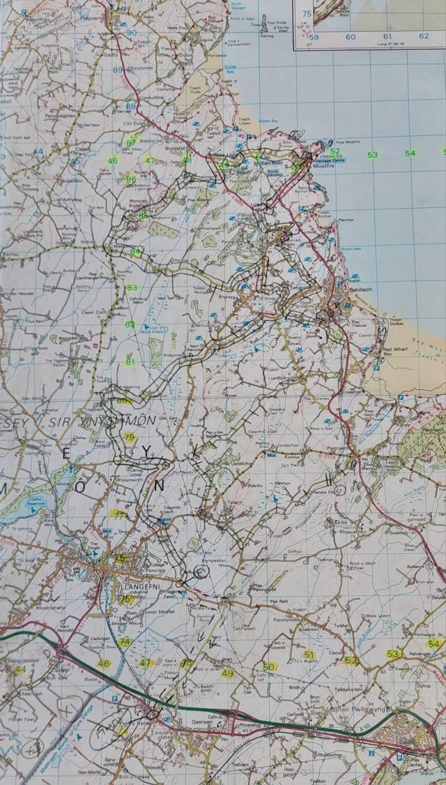
Cupid’s Navigation Run was organised by Sion & Lee Matthews. Following a severe weather forecast warning for snow across North Wales for the evening of our Navigation Run it was decided to head for the lowland area on Anglesey, rather than the mountains across the Menai Strait. A switch to Map 114 for a 30-mile route around the northeast of the Island. As it transpired, we were treated to just drizzle, whilst the white stuff fell on the mainland.
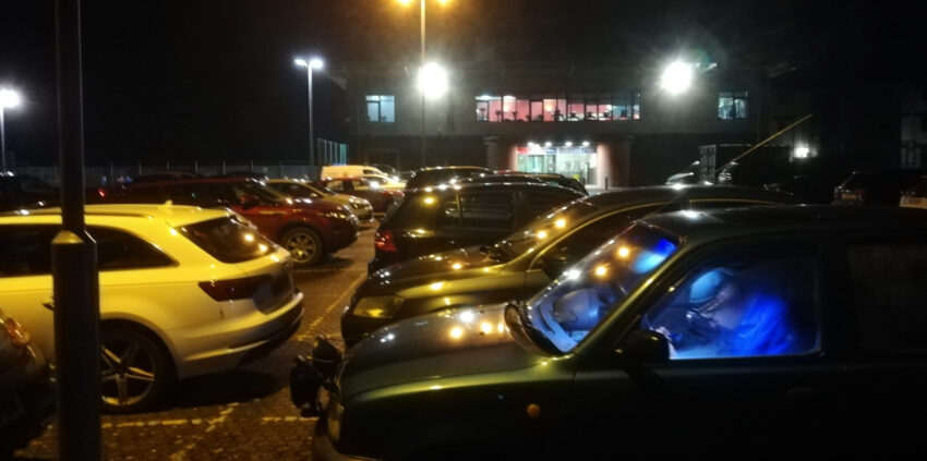
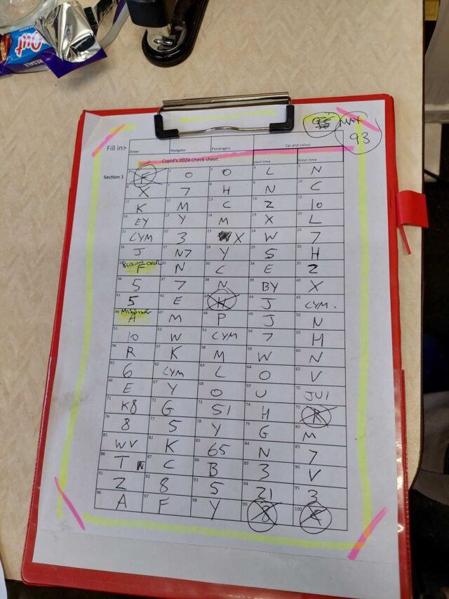
A full entry of twelve crews met in the David Hughes Sports Hall, Menai Bridge, with a varied assortment of chariots, from pick-ups to SUVs, cars to vans. Once crews had signed-on and paid the £10 entry fee they were issued with a route card of just twenty map references to define the route, and there weren’t even any not as map triangles this time. Sounded straight-forward.
The symbols started on the Pentraeth run, although some of the crews made the mistake of recording the first one they saw, which was an “F” placed 50 metres before the old railway bridge; the bridge being the starting point, so was a dud, meaning minus one point before they had even begun. There was a clue that it was a dud, as the next three code boards were “O”, “O” and “L”. For some, just finding the slot onto Pentraeth run in the village itself was tricky enough and cost some time retracing steps.
The first semi tricky bit was in Talwrn, where a mixture of wrong-plotting of approaches, or just wrong-slotting, had a few crews miss three symbols on one road, whilst Geraint / Cameron in the Swift, and Mike / Cai in the Combo Van both missed out Talwrn completely and rejoined at the next village, Benllech.
Here, Sion’s route had crews entering Benllech from the back road, and turning right into the first housing estate, then looping back around at the not-as-map junction on the main road and ending almost back where they started. David / Bethan fell foul of this tricky to navigate bit, and the following ‘white’ by the Church near Moelfre, missing out many symbols.
Next came a new road to everyone, the residential roads in Moelfre, including a “shortest route” tricky to find slot in the middle. Many crews missed the symbols there.
This was as far north as we would travel, the return leg starting by going over the top of Bodafon Mountain. From here on the route was all back-roads, so apart from the odd sneakily placed gateway symbol the going was much easier, all the way down to Ceint where the finish reference was. But there was a sting in the tail, as the final yellow to the finish venue, inside the Holland Arms Hotel, was now not in the “Symbol Section”, meaning the final two symbols were duds. More deductions.
Everyone arrived within their 3-hour allowance, and provisional results were announced, and awards presented to the winners. Results were based on five dud symbols (some crews recorded them all) and 95 correct ones. This would later be reduced to a maximum possible score of 93 points, as it appeared on collecting the symbols an hour after the last car, one symbol had fallen over, and another had gone missing. Some of the early runners had recorded these, but others running perhaps 45 minutes later had not. Only fair to scrub those two for everyone.
Dion and Cory continue their dominance of the Nav Runs, recording all of the correct symbols from the elevated position in their Transit Custom van, but could not claim that maximum score, as they recorded a B-road dud in Marianglas, ending on 92 points, from a possible 93. Well Done.
Duncan challenged for the win by navigating for his daughter, Kay. They missed two gateway sneaky symbols early on, one semi behind a telegraph pole near Llanbergoch, and another on the Llanallgo church ‘white’. 91pts.
At the half-way point it was Yvonne & John who were actually leading, having recorded every symbol. But they speeded up bit in the second half to reach the finish on time, and so missed four gateway symbols, ending in third position on 89 points in the K11 Micra.
Emrys and Aron in the L200 pickup also missed four sneaky symbols, although different ones near the start, but unfortunately for them they didn’t miss the very first one, so recorded that dud “F”. 88 points.
In fifth position, Jill and Paul in the Qashqai were the last crew to follow the intended route correctly, just missing the odd gateway code board and writing a symbol incorrectly on their sheet. 88.5 points.
Iwan and Gabi had Catherine for company in the Isuzu Dmax pickup, on their way to sixth position. Maybe the extra pair of eyes helping to spot almost all the symbols. Their only transgression was going the wrong way out of Marianglas, missing the four symbols on the avoided route. 85 points.
Lee T and Sion P took their Peugeot RCZ the wrong way in Talwrn, and also in Moelfre housing estate, but otherwise did very well. 85 points took them to seventh place.
Dylan and Tomos missed the Llanallgo church white, and also went the wrong way around the Marianglas triangles. They missed a few gateway symbols, and also recorded that “F”. Eighth place for the Ford Ranger with 80 points.
Kyle and Jacob were another crew to get caught out at the three tricky bits of the route, Talwrn, Benllech and Moelfre villages, but did well down the backroads in the Fiesta to score 74 points in ninth place. Could have been 79 points, but they recorded all five dud symbols.
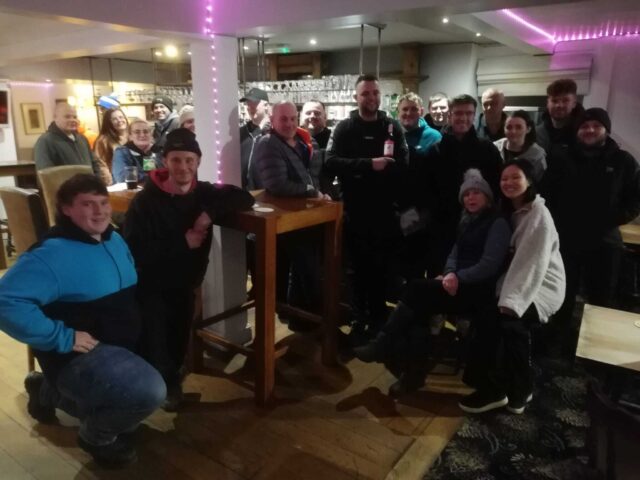
This was a very good event, and other C&A members and friends joined us at the finish to make a very enjoyable end to the night inside the Holland Arms Hotel. Had the feeling of a club Natter & Noggin of the past. Well done Sion.
Thanks to the excellent start venue, and the welcoming finish pub and all that attended. Very many thanks to Sion Matthews, Lee Matthews and Endaf Davies for organising another brilliant Navigation Run.
The next Navigation Run is on March 7th
on Map 115, starting again at David Hughes Sports Hall, Menai Bridge at 7pm. See March Hare Navigation Run
RESULTS
1. Dion Rowlands/Cory Thomas; Ford Transit Custom – 92 points
2. Kay Littler/Duncan Littler; VW Golf - 91
3. Yvonne Matthews/John Evans; Nissan Micra - 89
4. Emyr Owen/ Aron Jones; - Mitsubishi L200 - 88
5. Jill Clarke/Paul Clarke; Nissan Qashqai – 87.5
6. Iwan Evans/Gabi Tsantanis/Catherine Thomas; Isuzu D-Max - 85.1
7. Lee Threadgold/Sion Jones; Peugeot RCZ - 85
8. Dylan Parry/Tomos Parry; Ford Ranger - 80
9. Kyle Jones/Jacob Bolton; Ford Fiesta - 74
10. Geraint Jones/Cameron Hazelgrove; Suzuki Swift - 68
11. Mike Thomas/Cai Walters; Combo - 65
12. David Hanks/Bethan Jones; Skoda – 64.5
Maximum possible score - 93 points.
Information
Navigation Runs are ideal for learning to plot a route and read a map, and provide good practice for anyone aspiring to compete in a road rally anytime soon.
This will be the sixth Navigation Run of the season, organised by Sion Matthews and team.
The start venue is the David Hughes Leisure Centre, Menai Bridge, LL59 5SS, at the rear of Ysgol David Hughes - Ordnance Survey map 114, reference 547 723. what3words location ///airbase.prayers.germinate.
You will require map 114 (Anglesey/Ynys Món) plus the usual navigation aids of poti, romer, pen/pencil, etc. Sign on from 19.00 hours; route handouts from 19.00 hours.
Drivers and navigators need a valid club membership. Renew or join at Membership Application
Drivers and navigators also require a Motorsport UK competition licence of minimum grade RS Clubman. The RS Clubman licence is available free of charge at RS Clubman licence application